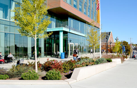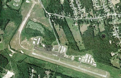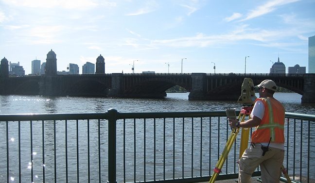

Mapping the World with Reliable Surveys
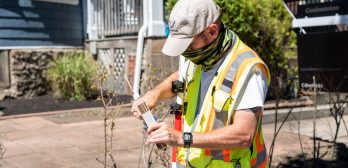
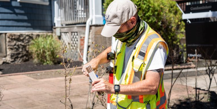
At Nitsch, we consistently evaluate the newest survey technologies, whether it’s the latest in robotic total stations, GIS, GPS, long range laser scanning, LiDAR, or drones – and then work with our clients to tailor the project approach and apply the appropriate level of technology to successfully accomplish project objectives. Our field and office personnel have the extensive experience, certifications and training, and flexibility to successfully meet ambitious schedule milestones.
Because Nitsch offers both land surveying and engineering services, our surveyors have an in-depth understanding of what engineers and architects require to develop an appropriate design for different types of projects – a clear advantage over survey-only companies.
“I really appreciated Nitsch Engineering’s quick response time on this important project.”
Project Manager, Boston Public Facilities Department
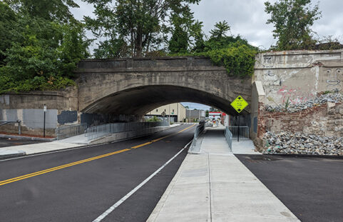
Nitsch has licensed surveyors in Massachusetts who specialize in providing surveys such as:
- Property line retracements
- Data accumulation (topography and utilities)
- ALTA/NSPS Title Insurance
- Laser scanning
- Drone (Unmanned Aerial Vehicle [UAV]) surveys
- Aerial photogrammetry controls
- Bridge and infrastructure
- Railroad right-of-way
- Route or linear
- Construction layout
- High-precision/monitoring
- Exterior building