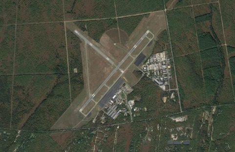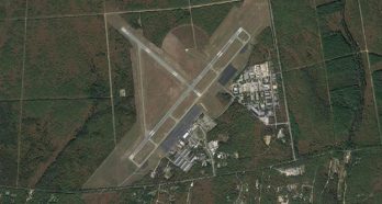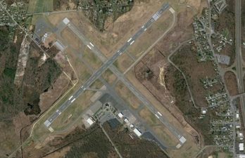

Nitsch provided land surveying services to support runway improvements at New Bedford Airport. By improving the infrastructure at the World War II era airport, the City of New Bedford hoped to grow the region’s economy. Funded by the Federal Aviation Administration (FAA), the Mass Aeronautic division of the Massachusetts Department of Transportation (MassDOT), and the City of New Bedford, the project included:
- Expanding the paved surface of the primary precision control runway by 400’ and adding 1000’x400’ Runway Safety Areas at the 5 end and 23 end.
- Upgrading approach guidance lights and clearing vegetation in the runway safety areas.
- Installing wildlife barrier fencing.
- Upgrading the drainage system for runway 5-23.
Nitsch performed boundary retracement and existing conditions mapping of 320 acres of the airport to support the design and permitting for the lengthening of this runway. The survey was in compliance with current FAA/Airport Geographic Information System (GIS) mapping guidelines. We re-established the wetland perimeter along the 5/23 runway corridor. Finally, Nitsch surveyed the perimeter of five areas in the vicinity of the Airport: one area was to be purchased to expand the current Airport, while the other four areas were land that the Airport currently owns.
Key Collaborators
Owner: City of New Bedford
Client: Airport Solutions Group