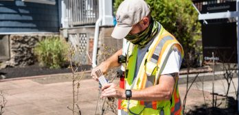
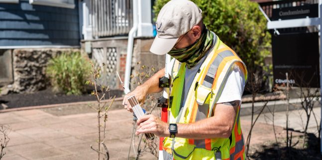
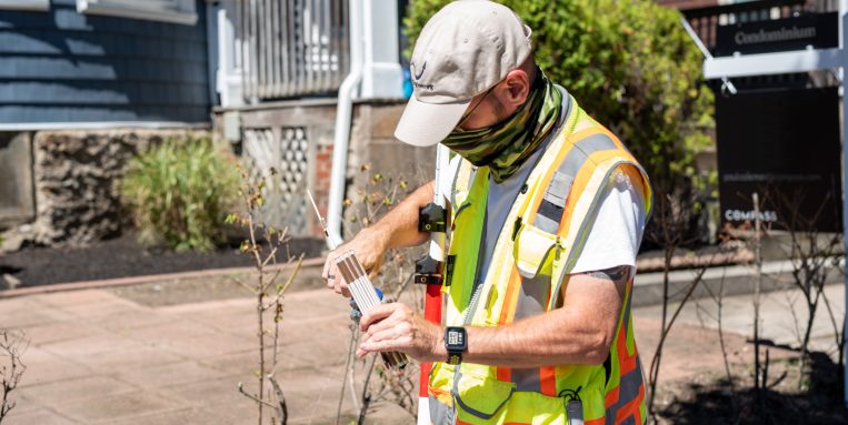
Late fall and early winter – this time of year when the leaves have fallen but snow isn’t yet sticking – always makes us think about land surveying. Why? Because it’s a great time of year to capture accurate survey data!
Reliable land surveys are the foundation upon which site development and infrastructure design improvements are based. Our 25-person survey team – including six Professional Land Surveyors (PLSs) – bring our clients the extensive experience, technical and safety training, and flexibility to help make projects of all types a success.
At Nitsch Engineering, we work closely with each client to determine the appropriate scope of services and level of accuracy needed to meet the objectives of their specific project. Our project managers then combine the appropriate survey technology – whether they are the latest in robotic total stations, Geographic Information Systems (GIS), Global Positioning System (GPS), LiDAR (laser scanning), or drones – with traditional on-the-ground surveying methods to meet the needs for your specific project.
Not sure what you need? We’re happy to discuss the different types of land surveys and how you can acquire the services you need for your projects!
How can we help you today?
- Property Line Retracement
- Data Accumulation (Topographic and Utility)
- ALTA/NSPS Title Insurance
- High-Precision
- Exterior Building
- Drone (Unmanned Aerial Vehicle [UAV]) Surveys
- Aerial Photogrammetry Controls and Surveys
- Bridge and Infrastructure
- Historic Harbor Line and Wetlands Delineation
- Hydrographic
- Railroad Right-of-Way
- Route or Linear
Learn more about our land surveying capabilities here, and reach out to Director of Land Surveying Denis Seguin, PLS, with any questions!


