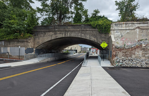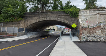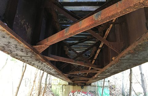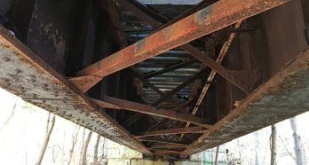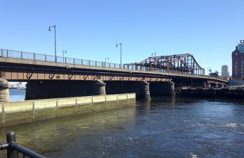

The six-lane North Washington Street Bridge – also known as the Charlestown Bridge – has connected the North End and Charlestown neighborhoods of Boston since 1900. After being named structurally deficient in 2003, the two center lanes were closed and plans to replace the bridge began.
Nitsch provided land surveying and transportation engineering services to support the structure’s replacement. The project required close coordination with the City of Boston and the Massachusetts Department of Transportation (MassDOT).
Our services included performing both terrestrial (static) and mobile (boat) laser scanning to locate existing utilities that needed to remain intact during construction, and field survey to verify the top of pier cap elevations and locate the limit of sheet pile apron as visible at low tide on all piers. We extracted the vertical and horizontal position of Eversource electrical transmission pipe type cable and the transmission gas line at all pier locations. Nitsch produced a point cloud that combines all of the laser scanning data into one data set for use by the design team in Revit. We also assisted in preparing Public Improvement Commission (PIC) documents and MassDOT discontinuance plans.
Key Collaborators
Owner: City of Boston
Architect: Miguel Rosales
Bridge engineer: Benesch