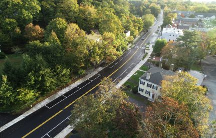
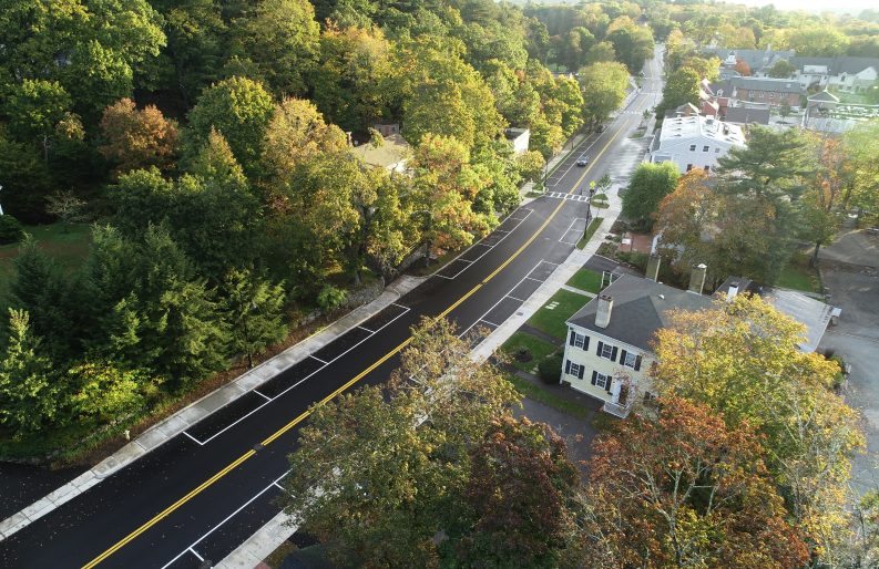
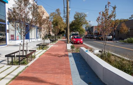
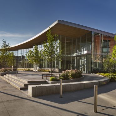
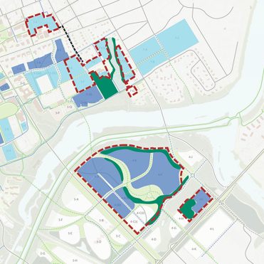
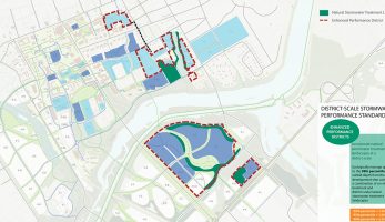
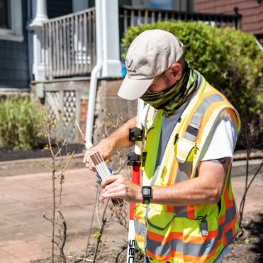
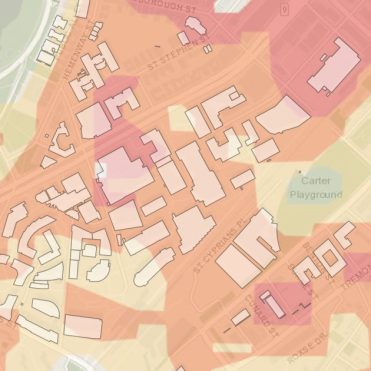
Land Surveying
Integrated Surveying and Engineering
Because Nitsch Engineering offers both surveying and engineering services, our surveyors have a better understanding of what engineers and architects require to develop an appropriate design for different types of projects – a clear advantage over survey-only companies. Our field and office personnel offer extensive experience, certified training, and flexibility to meet our clients’ project schedules.
Traditional Land Surveys
Nitsch Engineering consistently meets our clients’ needs for a broad range of land surveying services, including:
- Property Line Retracements
- Data Accumulation (Topography and Utilities)
- ALTA/ACSM Title Insurance
- High-Precision/Monitoring
- Interior and Exterior Building Surveys
- Aerial Photogrammetry Controls and Surveys
- Bridge and Infrastructure
- Railroad Right-of-Way
- Route or Linear
- Construction Layout
Laser Scanning Surveys
Nitsch Engineering provides detailed, efficient, and remote-access surveying with our laser scanning services. Laser scanning provides safe, cost-effective surveys for a wide range of projects, including:
- Building exteriors and interiors for renovation or structural connections
- Plumbness studies
- Deformation monitoring
- Quantity surveys
- Topographic surveys
- ADA compliance surveys
- Roadways, bridges, and rails
- Power plants and substations
- Areas of limited access
- Anything requiring a high level of detail
We also have the ability to overlay these surveys with digital photos for added realism. Click here to view some examples of 3D laser scanning.


